The Greek Mountaineering Club of Kavala describes the route as follows:
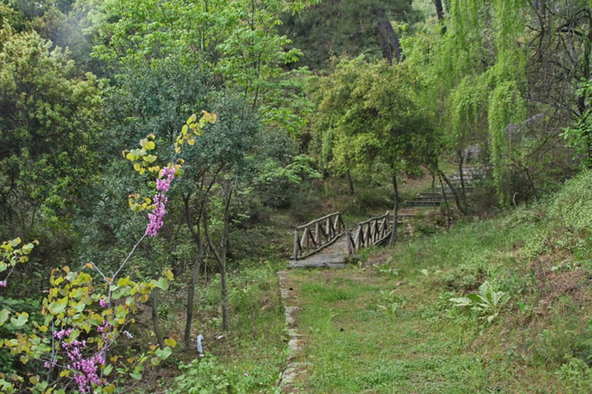
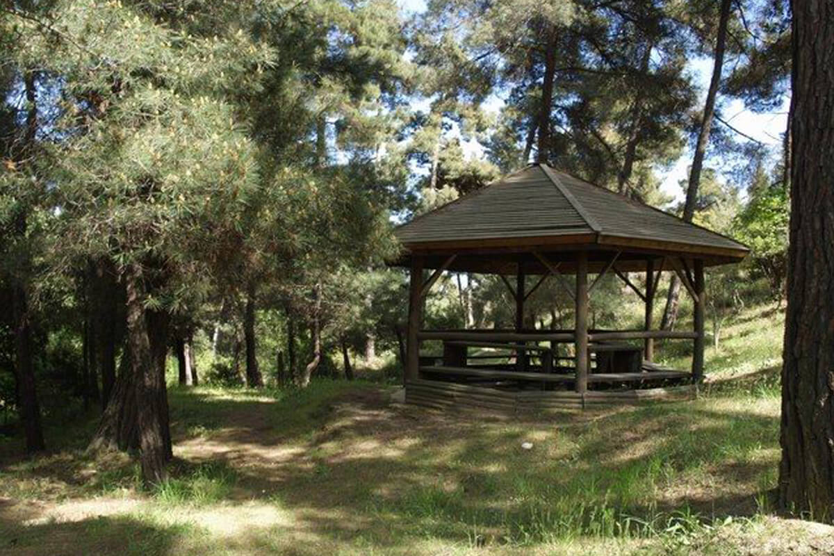
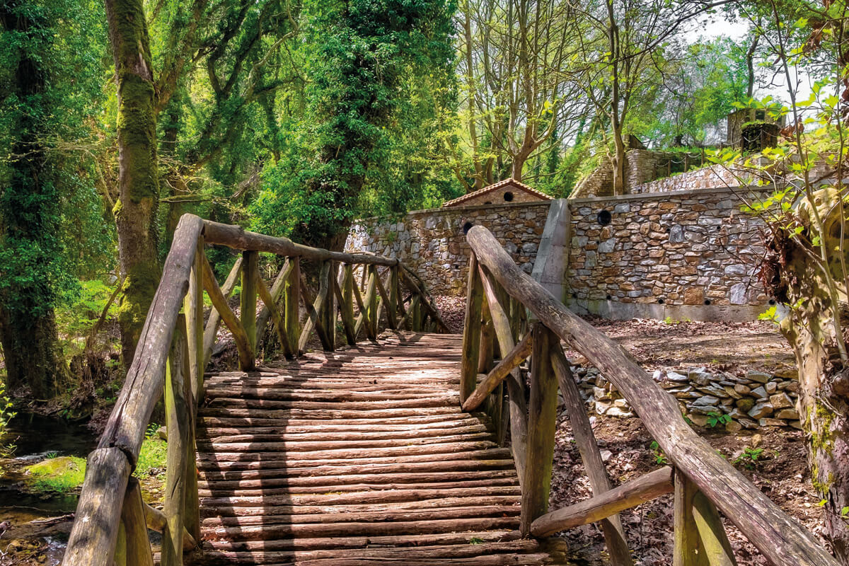
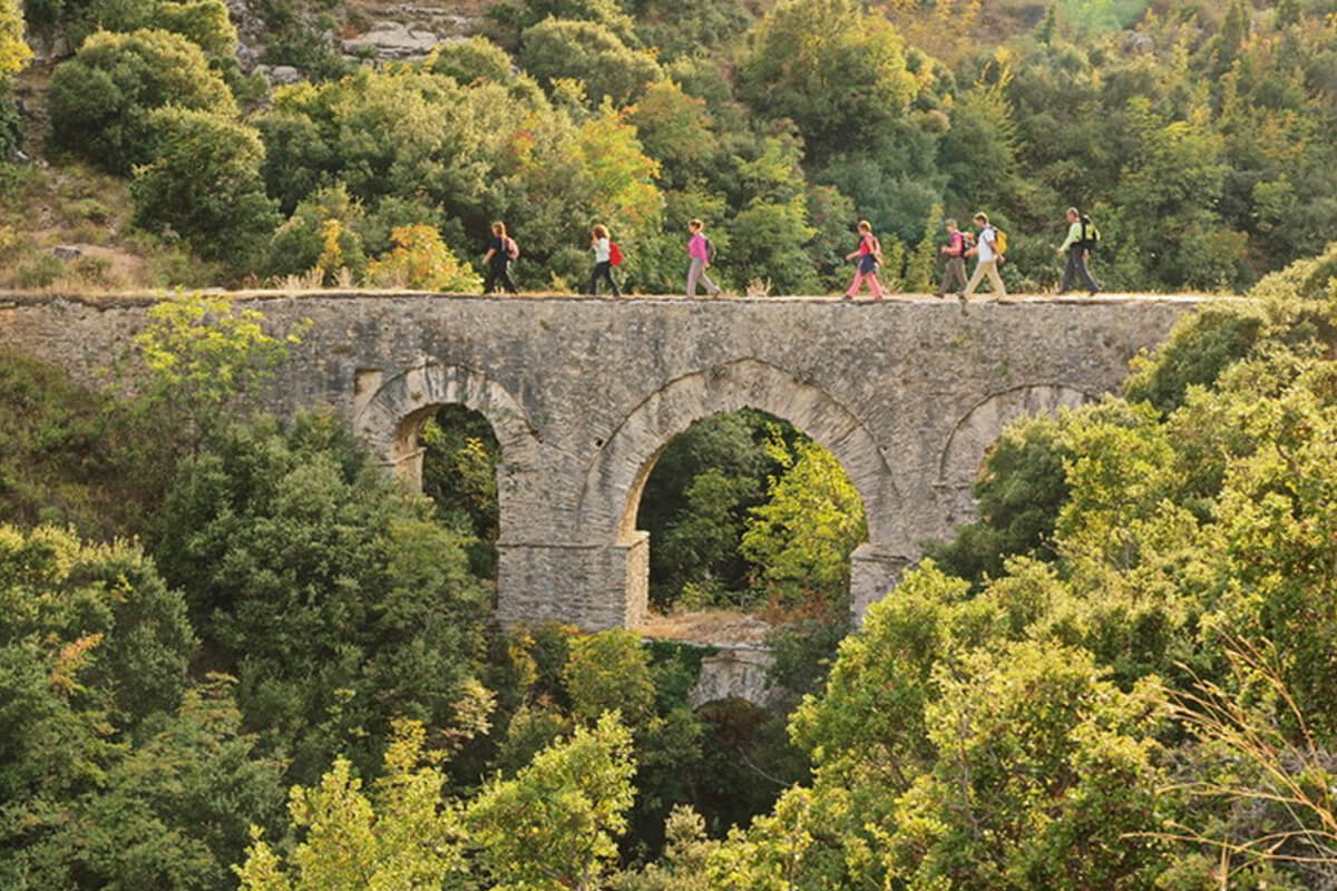
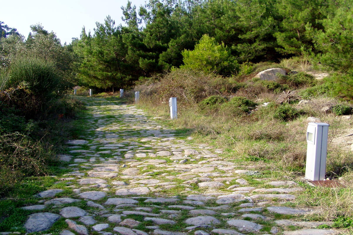
Start from the centre of town and ascend to Agios Silas from 7th Merarchias St, a little outside the exit from the town, where you can leave your car in one of the two car parks with the fountains on the right. In this area, the forest authority has built an extensive network of footpaths, 3.5 km long. You can wander through the pine forest, selecting and exploring different routes. Along the whole length of these routes, you will find kiosks, benches, fountains and bridges.
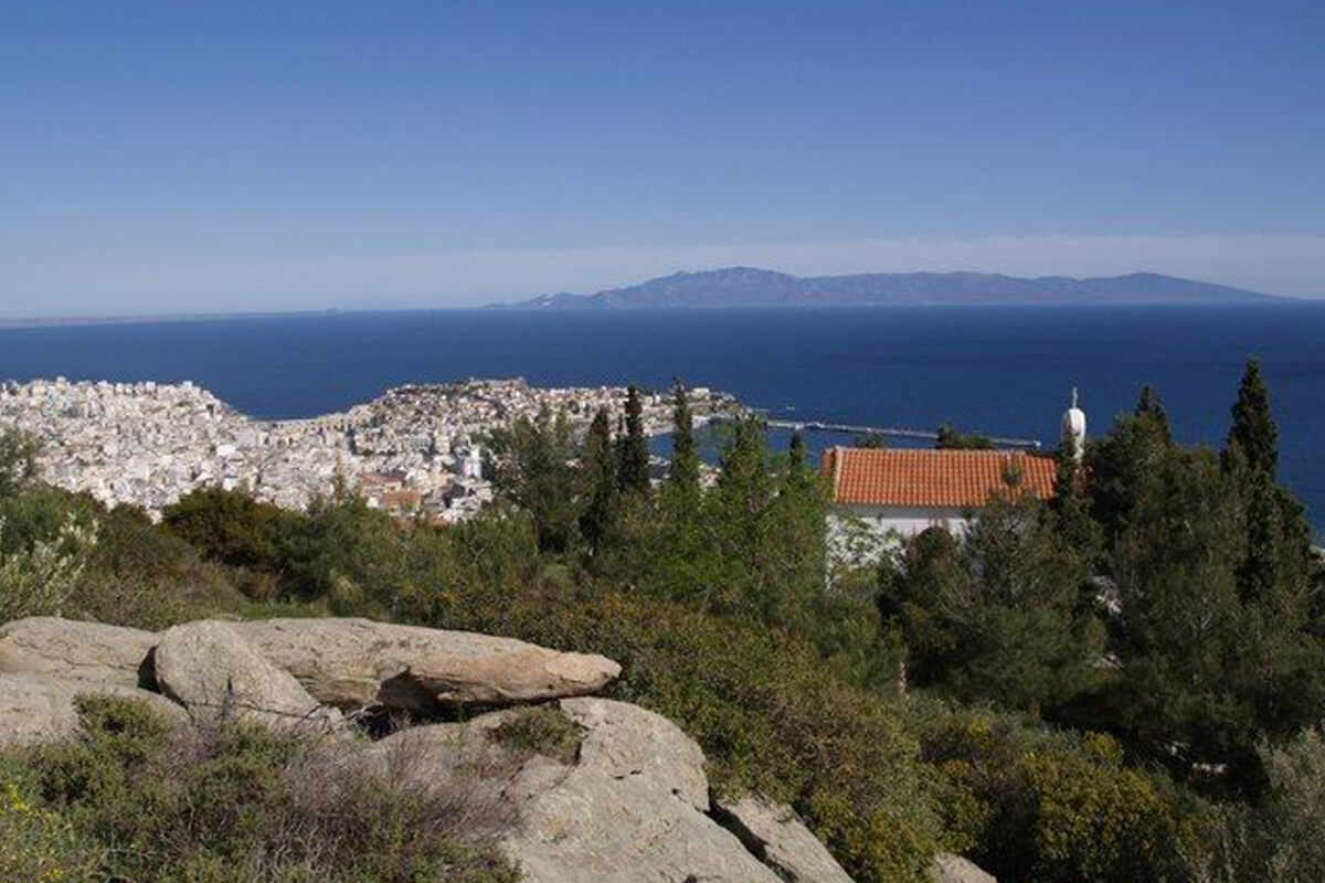
The central section of the suburban forest is one of the region’s best-known routes, which leads from the peripheral road to the chapel of Agios Panteleimonas and continues to the spot of Stavros, at an altitude of 328 m. This route is 1,050 m long and has a stunning view, as it passes along steep spots and impressive geological formations. The highpoint of the route is its end, at Stavros, which is the best point from which to admire a view of the whole town of Kavala and Thassos.
A second footpath, along the same section, begins from the dirt road a little above Sanatorio. Its starting point can easily be spotted by the green metal arch that has been placed here. The footpath winds through the typical vegetation of the region to end at the dirt path that leads from Sanatorio to Stavros. By combining these two footpaths and the many dirt roads in the area you will be able to enjoy a number of different routes.
