Districts

DISTRICTS

Home / Practical Guide / Districts

23 DISTRICTS WITH A UNIQUE CHARACTER

As you walk through the streets, you see images and hear stories. You seek the places and people who make every neighbourhood unique.

Photo by Artware

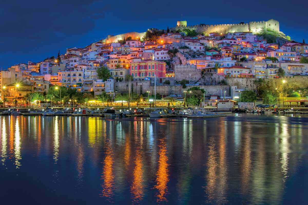
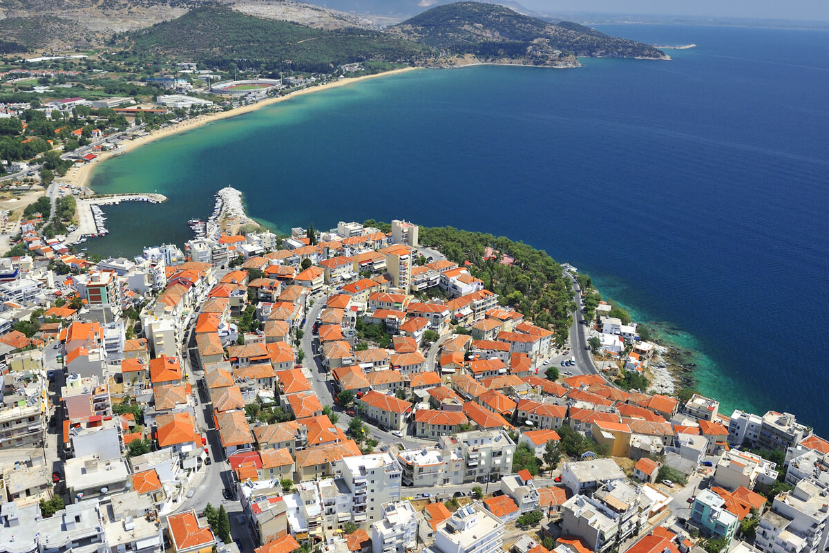
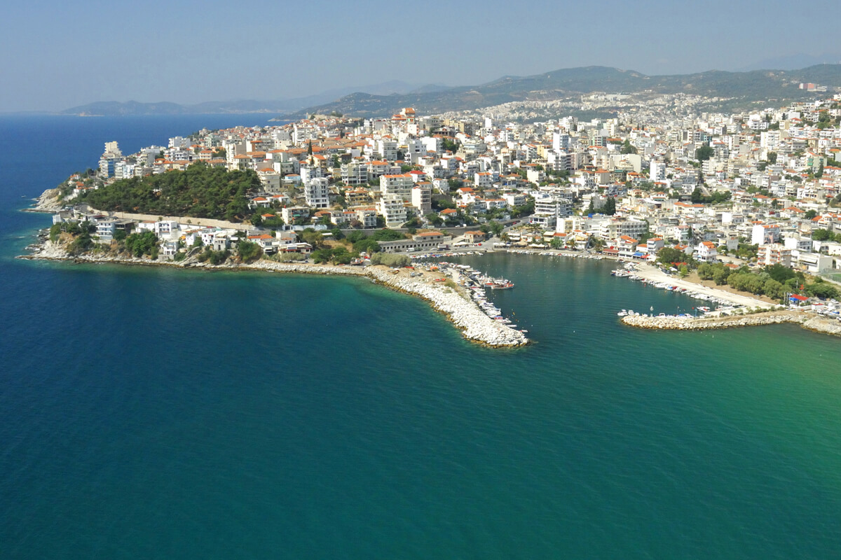
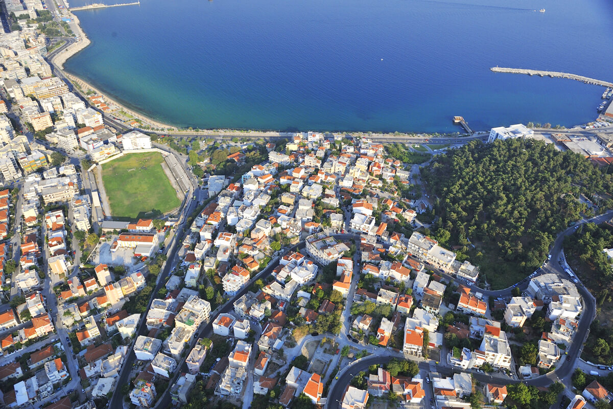
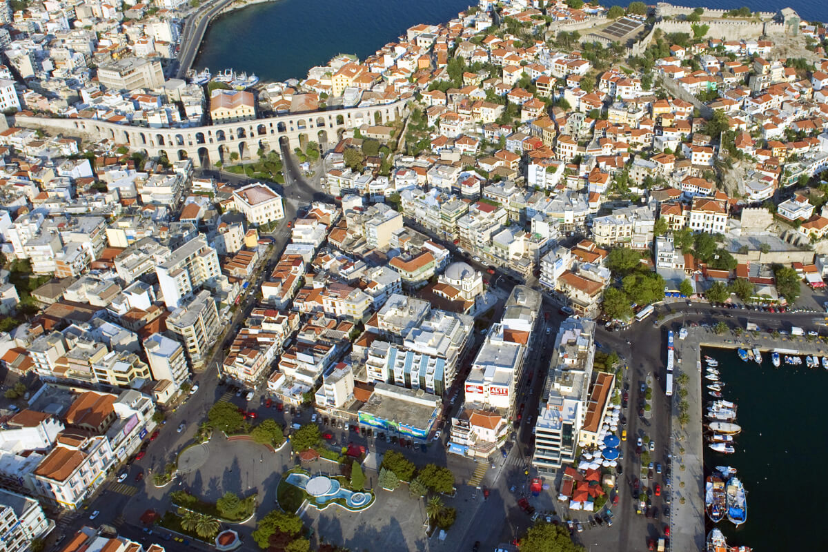
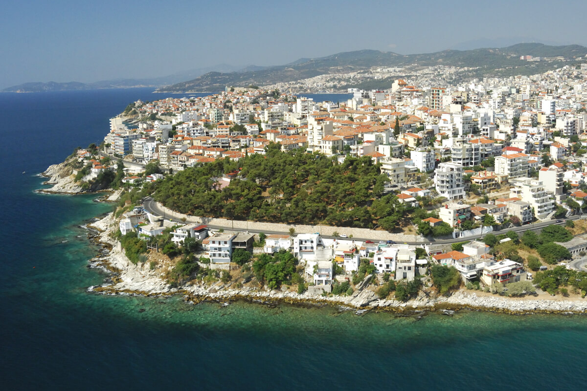
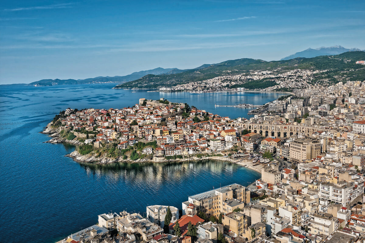
At the centre of the town of Kavala, with a history that goes back centuries, the district of Panagia – known also as the “Old Town” – reached as far as today’s district of Agios Nikolaos and was, until 1864, the only inhabited part.

Later came the district of Agios Ioannis, with its villas and mansions, Agia Varvara, Agios Athanasios, the Sougelo or “The Water Road” (today’s Holy Cross), Agios Georgios, Agios Pavlos…

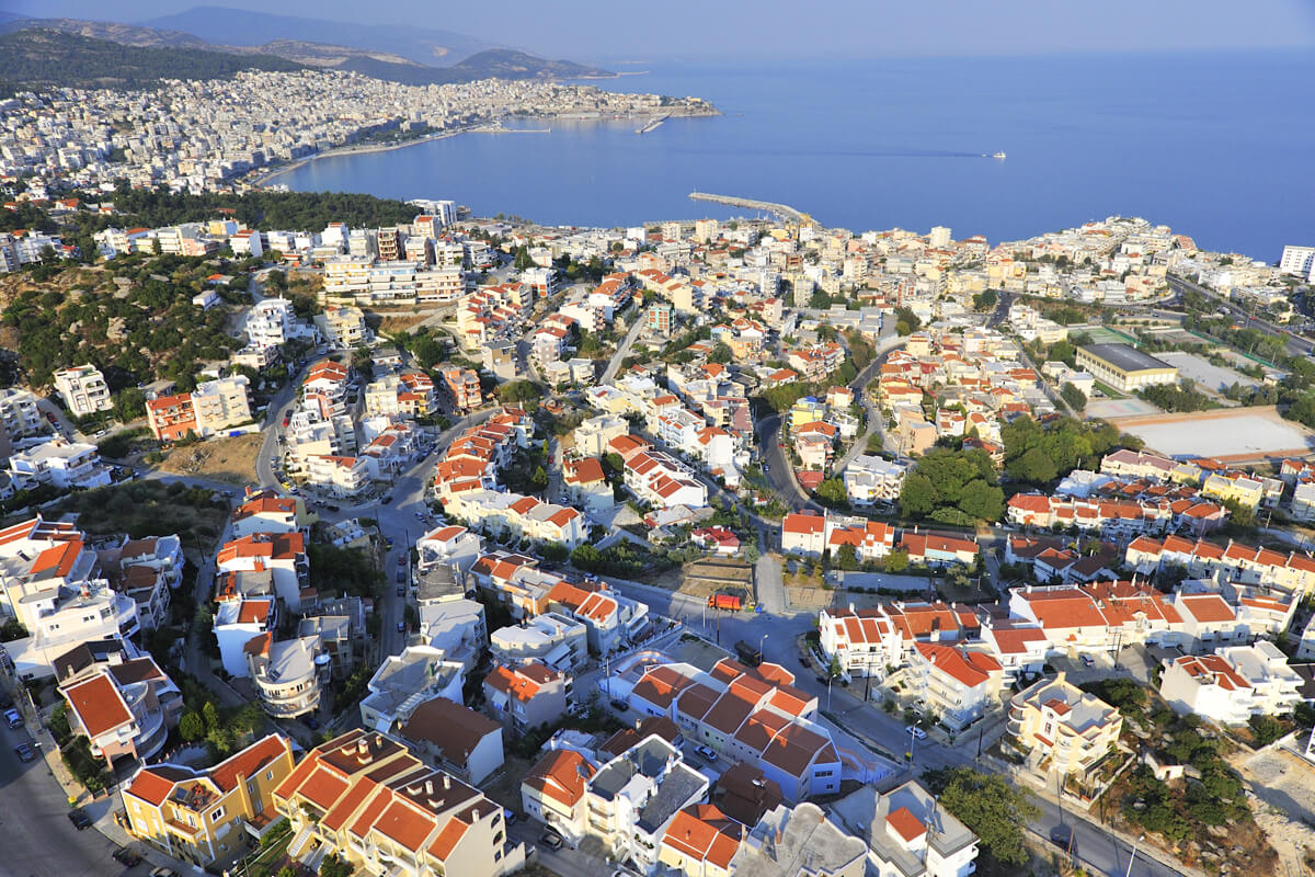
From as early as the 1920s, the town had started to transform into a modern urban centre, when its population expanded rapidly due to the large number of refugees who settled here after the Asia Minor Disaster. New districts were created to the east and west of the town: Hilia (the name it was given because of the thousand [hilia] refugee families that settled there) and Vyronas, Dekaochto (i.e. 18, because there were 18 refugee houses here), Pentakosia, Potamoudia, Kalamitsa, Kipoupoli, Profitis Ilias, Dexameni, Agia Paraskevi…

The town grew and other districts came to cover the increased housing needs of modern Kavala: Agios Tryphonas (or Worker Housing) and Perigiali to the east, Agios Loukas and Neapoli (DEPOS) in the west.

Each district of the town has its own unique history, starting with its name and continuing to the hundreds of narratives told by its residents.

Discover them by following in their footpaths.

Districts

East districts:

  1. Agios Athanasios
  2. Agios Tryphonas (or Worker Housing)
  3. Perigiali (or Kara Orman)
  4. Holy Cross (or Sougelo)

Southeast districts:

  1. Agia Varvara
  2. Pentakosia
  3. Panagia (Palia Poli)

Western districts:

  1. Agios Loukas
  2. Agia Paraskevi
  3. Vyronas
  4. Neapoli(DEPOS)
  5. Dexameni
  6. Hilia

Southwest districts:

  1. Kipoupoli
  2. Kalamitsa

North districts:

  1. AgiosPavlos
  2. Potamoudia
  3. Profitis Ilias
  4. Horafa
  5. Stavros

South/Central districts:

  1. Centre
  2. Agios Georgios
  3. Agios Ioannis

HOW TO GET HERE

Enter your address

SEE ALSO

Porto Palio Hotel - Photo from Porto Palio's archive
PORTO PALIO

The Porto Palio Beach Hotel can be found on one of the most magical beaches, just 6 km from...

Learn more
Interactive map

Use the filters in our Interactive map tool, according to your areas of interest, and find what you are...

Learn more
Tourist Information Centre

The Tourist Information Centre is located at a central point in the town, in Eleftherias Square. Its purpose is...

Learn more
Maps and brochures

The maps and brochures in this section aim to help you explore the town centre and the surrounding area....

Learn more
Skip to content